Cerro Quemado isn’t Guatemala’s most famous volcano, but it's certainly one of the most interesting. And in this article, we’ll explain why. It stands at 3,197 metres, is literally right next to Quetzaltenango, and holds a geological and spiritual history that few people are aware of before they climb it. Sounds promising, doesn’t it? If you’ve only heard of it in passing, this guide is going to change your perspective.
Here’s everything you need to know about visiting the Cerro Quemado volcano: how to get there, what you’ll find along the way, and why this place is far more significant than it seems.
What is Cerro Quemado?
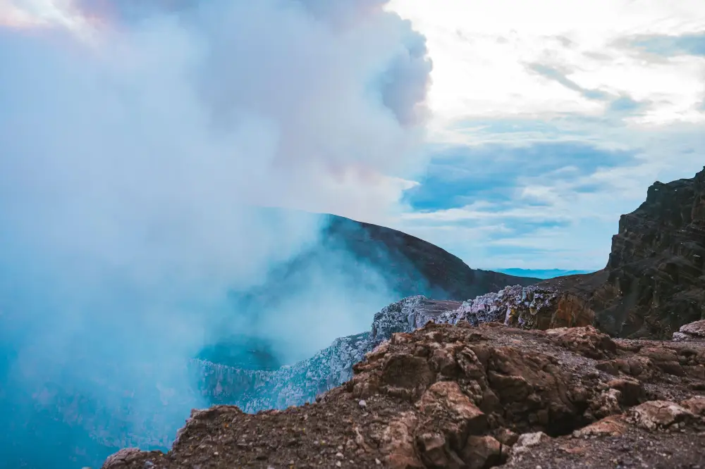
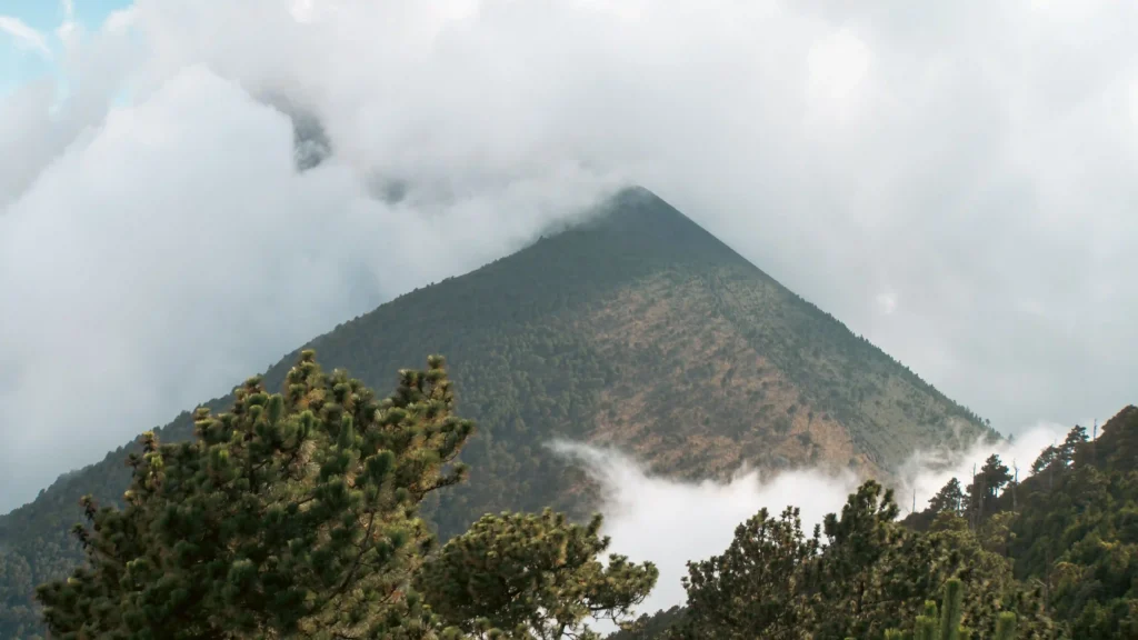
Don’t expect the typical volcanic cone. Cerro Quemado is a field of sharp, black lava rocks – known as ‘malpais’ – formed by past eruptions. Its lava domes, rocky spires and vertical cliffs give it an appearance that, from a distance, resembles a mountain castle. You could say it’s unusual and somewhat peculiar, and that’s precisely what makes it special.
Geological history of the Cerro Quemado volcano
Cerro Quemado belongs to a type of volcano known as a dome volcano or Pelean volcano, formed by large spires and rocks that resemble a roof rising from the ground. It forms part of the Quetzaltenango Municipal Regional Park (PRMQ) and is considered a volcanic edifice comprising several elongated lava domes. One end is Cerro de Candelaria and the other is Cerro Quemado itself, situated above the Zunil fault zone.
Its lava has been classified as hornblende and mica bearing andesite, as well as hornblende-bearing andesitic pumice. It also exhibits noticeable fumarolic activity from the summit down to its slopes, indicating that the volcano is not entirely dormant.
The last recorded eruption took place in 1818 and threatened the communities of Zunil, Almolonga and Quetzaltenango. It was so severe that the inhabitants prayed to Our Lady of the Rosary for the tremors to cease and the lava to stop.
Why it is one of Guatemala’s most unique volcanoes
Two things make it unique. Firstly, it lies within the urban perimeter of Xela, making it one of the few volcanoes in the world that can be reached from a city in just a few hours. Secondly, its morphology bears no resemblance to the perfect conical volcanoes we usually imagine. Here, the terrain is chaotic, jagged and dark. Walking amongst these formations is an experience unlike any other on the Guatemalan highlands.
Furthermore, within the Quetzaltenango Municipal Regional Park, where it's situated, it's occasionally possible to spot the quetzal and the horned guan, two species of bird that are in danger of extinction.
The spiritual significance of the site for Mayan communities
The volcano’s name comes from the K’iche’ language: Catinocjuyup, a word that the K’iche’ communities used to refer to Quetzaltenango. It's also known locally as Xecaj, which means ‘Under the Fire’. It used to be called Lajuj Noj – which means ‘Ten Ideas’ – and on its summit there was a Mayan altar bearing the same name.
For the surrounding indigenous communities, Cerro Quemado is a sacred site where syncretism and mysticism converge. Some locals worship Jaun Noj, a spirit who, according to tradition, dwells in a cave there. There are also devout Christians who climb the hill to give thanks or make a request. The two groups coexist in the same space, creating an atmosphere unlike that found at any other volcano in the region.
Ancestral ceremonies and practices
At Cerro Quemado, indigenous communities regularly gather to hold Mayan prayers and ceremonies. It's considered one of the most sacred Mayan altars in Guatemala. The ajq'ijab' – spiritual guides – lead rituals using candles of different colours, copal and the burning of plants. Some people spend several days in the cave on the hill as part of their practices.
If, during the climb, you come across active altars with offerings, the remains of candles or flowers, do not touch them. It's a living tradition, not a mere decoration.
Where is the Cerro Quemado volcano?
Cerro Quemado is situated in the Chicuá canton, in the municipality of Quetzaltenango, in the department of Quetzaltenango. It's 5 kilometres from the city centre and around 300 kilometres from Guatemala City, which is about 8½ hours’ drive.
How to get there from Xela
From Quetzaltenango’s central park, you can walk to the village where the ascent begins in about 25 minutes, or take a bus to Almolonga and get off at the entrance to the hot springs known as ‘Los Vahos’. The path to the volcano starts from there.
If you’re travelling by car, take the Quetzaltenango exit towards Almolonga, turn right about 500 metres before the Xelapán food factory and carry on for a further 1 km until you reach a village. From there, there are several paths to start the climb.
Main access routes to the volcano
The main access route is well signposted in its early sections and passes through farmland and woodland before entering volcanic terrain. There is also a route from the town of Xela that can be taken on foot, although this adds quite a bit of time to the total journey. The most common way is to take transport to the village and walk up from there.
History and volcanic activity of Cerro Quemado
The eruption that transformed the landscape
According to historical records, there once stood an imposing volcano at this site known as Lajuj Noj, whose massive eruption caused the crater to disappear, leaving only the remains that today form Cerro Quemado. The magnitude of that eruption can be deduced from the base that still exists. The crater collapsed, triggering an avalanche of debris and a lateral blast that swept through the valley as far as the foothills of the Siete Orejas volcano.
The last recorded eruption took place in 1818 and was intense enough to threaten several nearby towns.
The formation of domes and volcanic structures
The result of this volcanic activity is the landscape you see today: compact lava domes, vertical cliffs and a terrain of jagged black rock which, in some places, requires you to climb using both hands and feet. At the summit is a peak known as ‘La Muela’ because of the way it looks from the city, where climbers practise rock climbing.
Cerro Quemado within Guatemala’s volcanic belt
Cerro Quemado forms part of the Central American volcanic arc. From its summit, you can see the Santa María volcano and the Siete Orejas. A few kilometres away lies the Santiaguito complex, which has been in continuous eruption since 1922. The hot springs at Almolonga and the spa known as Los Vahos, which draws steam from the volcano itself, are a direct result of Cerro Quemado’s geothermal activity.
- We invite you to read our article about La Esperanza.
How to climb Cerro Quemado
Most popular route up the mountain
The route starts from the village in the Chicuá canton and climbs, passing first through farmland and pine and broad-leaved forests, before entering volcanic terrain. As you gain altitude, the forest gives way to black rock and the path becomes narrower. On the final stretches, you’ll need to scramble using your hands and feet amongst the volcanic formations. It’s not technically difficult, but it's physically demanding. Higher up, you’ll find a cave which serves as a landmark on the route and a site for ceremonies.
A genuine word of warning from those who have completed the loop: the return route may cross private land. It's recommended that you follow the same path both ways, or check for up-to-date information on the condition of the loop before setting off.
Duration and level of difficulty
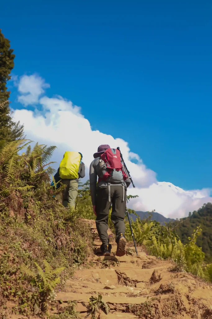
The total ascent time is approximately 6 hours, there and back. AllTrails classifies the route as difficult, covering a distance of 15 km with 978 metres of elevation gain on a circular route. Hikers’ reviews are unanimous: the climbs are steep, there are sections overgrown with undergrowth and, at the top, you have to scramble using ropes tied to trees at certain points.
This route is not suitable for beginners without prior preparation. Yes, it's entirely manageable for someone who is physically fit and wearing suitable footwear.
Tips for the walk
- Hiking boots with thick soles. Volcanic rock is sharp and can damage lightweight footwear.
- Long trousers. The rock is sharp and there are sections where the vegetation brushes against your legs.
- A minimum of 2 litres of water per person. There are no refreshment points along the route.
- Set off early, before 7 am. The weather changes quickly on the high plateau, and the afternoons bring mist and rain.
- A local guide is recommended, especially if it’s your first time. You can contact the local council or book via the contact number available on guatevalley: +502 57700068. The entrance fee is around Q10 per person (just under €3).
- Don’t go on your own. Some sections are rarely used and the terrain can be dangerous.
- Take a torch and a spare battery, in case the descent takes longer than expected.
What to see on the climb up Cerro Quemado
Volcanic formations and unique landscapes
From the very first few metres of volcanic terrain, the landscape changes completely. Black lava rocks, basalt spires and boulders that have broken away from the domes create a scene unlike any other in the area around Xela. In some places, the path winds its way between vertical rock faces, and the sensation of being inside something geologically alive is hard to ignore.
Natural viewpoints along the route
Halfway up, views of Quetzaltenango and the surrounding hills begin to open up. These are natural stopping points that are well worth taking advantage of if you’ve got a camera. You don’t need to reach the summit to enjoy the view, although the vista is much more complete from the top.
The vegetation typical of the area
Cerro Quemado is situated within the low montane rainforest biome, forming a transition zone between the coastal broadleaf forest and the coniferous forests. The lower sections are dominated by trees, shrubs, lianas, epiphytes and herbs. The forest is home to 160 species of birds, 28 species of mammals and 15 families of amphibians and reptiles documented in the region.
The views from the summit of Cerro Quemado
Panoramic views of Quetzaltenango
From the summit, at an altitude of 3,197 metres, the Quetzaltenango valley can be seen in its entirety. The Quetzaltenango Municipal Theatre, the historic centre and the city’s neighbourhoods are clearly visible on clear days. It offers a different perspective to that from Cerro El Baúl: higher, wilder and from a different angle, which makes Xela seem even smaller within that valley surrounded by volcanoes.
Views of the Santa María volcano and the Santiaguito volcanic complex
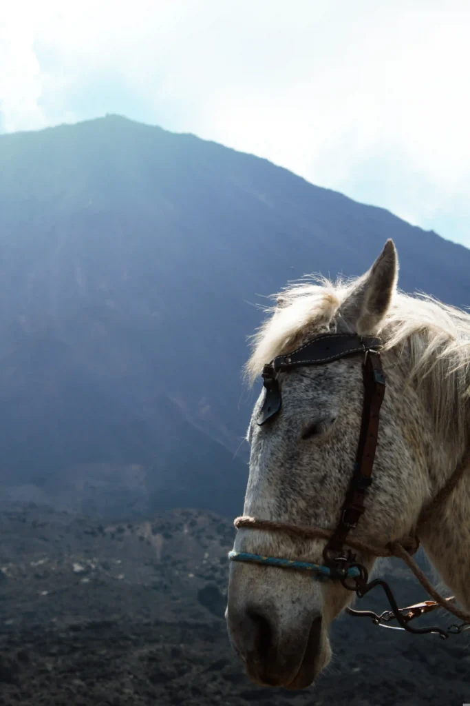
Here’s the main attraction. The Santa María volcano looms huge to the south, its height of almost 3,800 metres dominating the horizon. Right at its feet, the Santiaguito complex – one of the world’s most active volcanoes – can send up plumes of steam or produce small eruptions on days when it’s active. Seeing this from the summit of Cerro Quemado, with your feet on volcanic rock and the silence of the altiplano all around you, is one of the most awe-inspiring experiences you can have in the region.
Best time to visit Cerro Quemado
Climate throughout the year
Quetzaltenango is cold all year round. On Cerro Quemado, at over 3,000 metres, the cold intensifies and the wind can make it feel considerably colder. After midday, a cold mist descends and covers the hill, particularly during the rainy season. Bringing a thick jacket and a change of clothes is not optional: it's essential.
The dry season and hiking conditions
The dry season, from November to April, is when the trail is in its best condition: firm ground, less vegetation blocking the path and a better chance of clear views from the summit. During the wet season, the ground becomes slippery and the undergrowth grows quite thick on the higher sections, making it difficult to find your way.
Recommended times for the climb
- Set off between 6 and 7 in the morning. This is the best time to ensure clear skies and good views.
- Try not to go out after midday. The fog sets in quickly and can cover everything before you reach the top.
- During the week, the route is quieter and you’re more likely to have the viewpoints all to yourself.
Frequently Asked Questions about Cerro Quemado
How do you climb Cerro Quemado from Quetzaltenango?
From the centre of Xela, you can walk to the starting point in the Chicuá canton in about 25 minutes, or take a bus to Almolonga and get off at the entrance to Los Vahos. The main trail starts from there. It's advisable to hire a local guide, especially if it's your first time.
How long does the walk to the summit take?
The entire round trip takes approximately 6 hours. The circular route is around 15 km long and has an elevation gain of 978 metres. The difficulty level is high: there are sections involving scrambling over volcanic rocks and, in some places, ropes are used to climb.
Why is Cerro Quemado considered a sacred place?
For the K’iche’ Maya communities in the region, Cerro Quemado is one of the most sacred Maya altars in Guatemala. Inside, there is a cave where ceremonies are held using candles, copal and offerings. It's also a place of worship for devout Christians who climb up to make requests or give thanks. This convergence of spiritual traditions coexists within the same space and is part of what makes this volcano unique.