


Guide to the Tajumulco Volcano
The unique power of Central America’s highest point
Welcome to the Tajumulco Volcano
The Tajumulco Volcano is the highest point in Guatemala and in the whole of Central America, an iconic mountain for lovers of hiking, adventure and high-mountain landscapes. Standing at an altitude of approximately 4,220 metres above sea level, it dominates the landscape of the department of San Marcos and offers an experience very different from that of more touristy volcanoes such as Pacaya, Acatenango or the Fuego Volcano.
A trip to Tajumulco Volcano in Guatemala takes you into one of the most imposing and remote settings in the west of the country. The ascent combines mountain trails, cold air, volcanic terrain and sweeping panoramic views that change as you gain altitude, taking in rural landscapes, high-altitude forests and rocky high-mountain areas.
More than just a simple excursion, climbing Tajumulco Volcano means reaching the highest peak in Central America and discovering a lesser-known side of Guatemala: quieter, less crowded and deeply connected to nature and physical exertion. For many travellers, reaching its summit is one of the greatest achievements of any adventure itinerary in the country.
The Origins of the Tajumulco Volcano
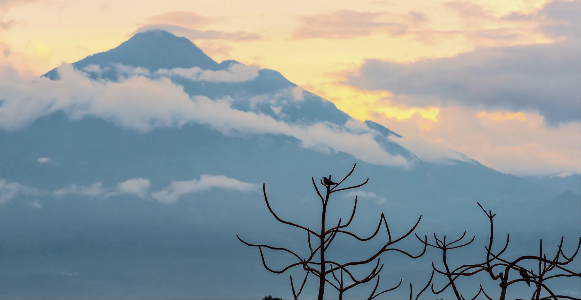
The Tajumulco Volcano forms part of the Central American Volcanic Arc, a mountain range formed by the interaction between the Cocos Plate and the Caribbean Plate. Unlike active volcanoes such as the Fuego or Pacaya, Tajumulco is considered an inactive or extinct volcano, with no recorded eruptive activity in historical times.
Its geological formation occurred over the course of multiple ancient eruptive episodes, with layers of lava, ash and volcanic material accumulating to eventually shape its immense height and current relief. The massif has two main peaks and a broader, more mountainous morphology than other volcanoes in the country, which contributes to the feeling of being in a great mountain range.
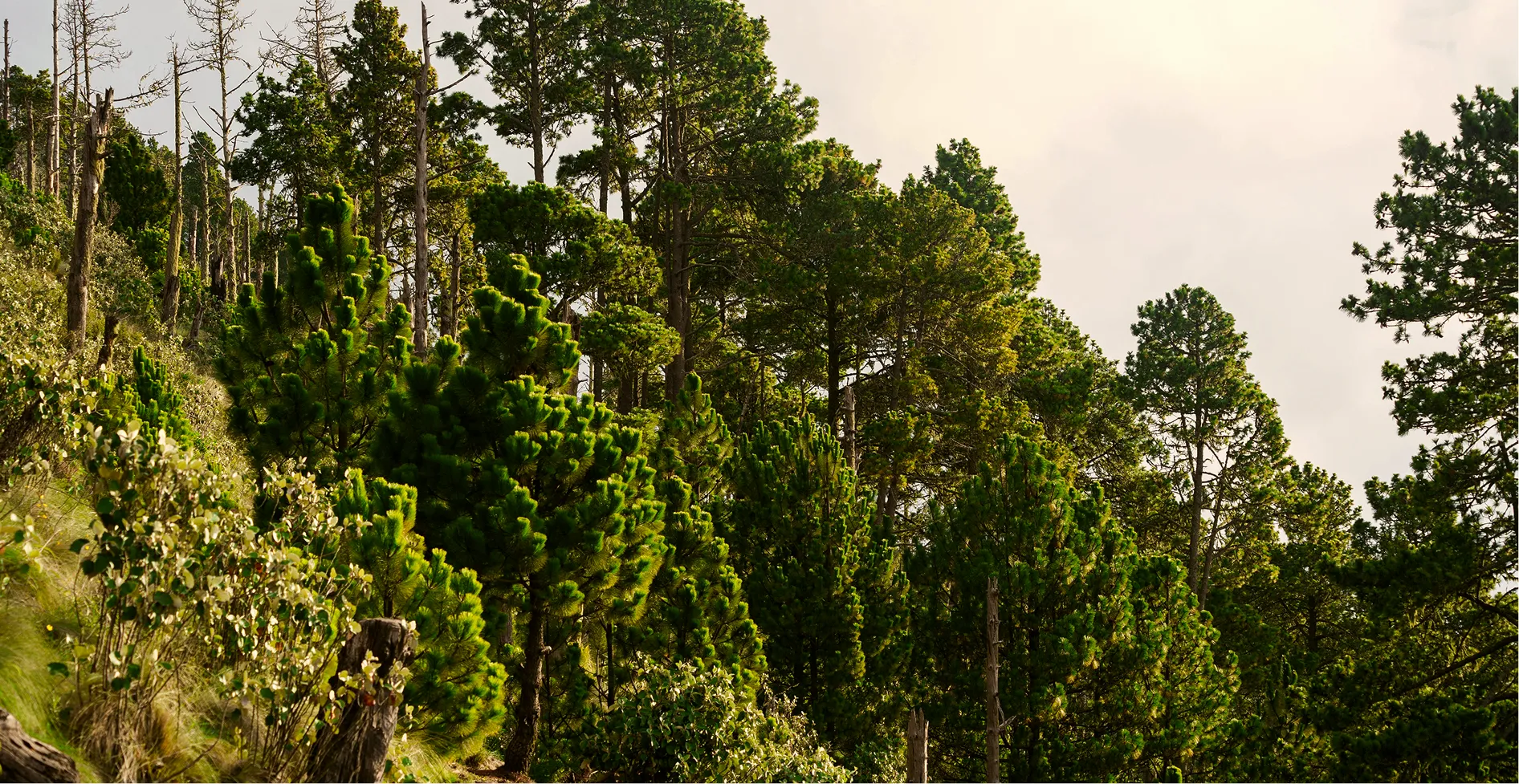
Over time, the absence of volcanic activity has allowed high-altitude ecosystems to develop, along with fertile land now used for local agriculture. During the ascent, the landscape changes progressively: crops, pine and cypress forests, open slopes and cold areas of bare rock create an experience very different from that of other Guatemalan volcanoes.
Situated near western giants such as the Tacaná and Santa María volcanoes, Guatemala’s Tajumulco Volcano stands out not only for its height, but also for its remote, authentic nature and the fact that it remains largely untouched by mass tourism.
How to get to Tajumulco Volcano
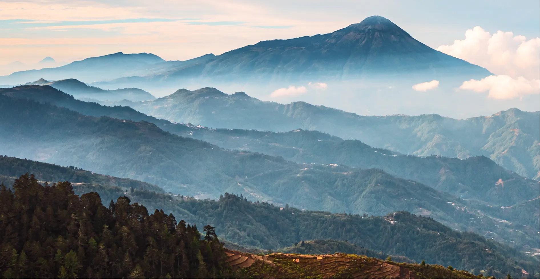
Getting to Tajumulco Volcano requires a little more planning than the volcanoes near Antigua Guatemala, but that’s all part of the experience. From Guatemala City, the road journey to San Marcos usually takes between 6 and 7 hours, typically passing through Quetzaltenango, one of the most important cities in the western highlands.
From San Marcos, the journey continues to communities near the volcano, with Tuichán being one of the main starting points for the ascent. There are also access routes from areas near the municipality of Tajumulco, although many tourist routes depart from organised communities where local guides operate.
For those looking for how to get to Tajumulco Volcano in Guatemala, the most convenient option is usually private transport or organised tours. Although regional buses are available, these often involve several changes and require more time to plan.
Many travellers also take the opportunity to combine the climb with nearby destinations such as Quetzaltenango, San Marcos or even routes to Tacaná Volcano, creating a comprehensive mountain itinerary through western Guatemala.
When to visit Tajumulco Volcano
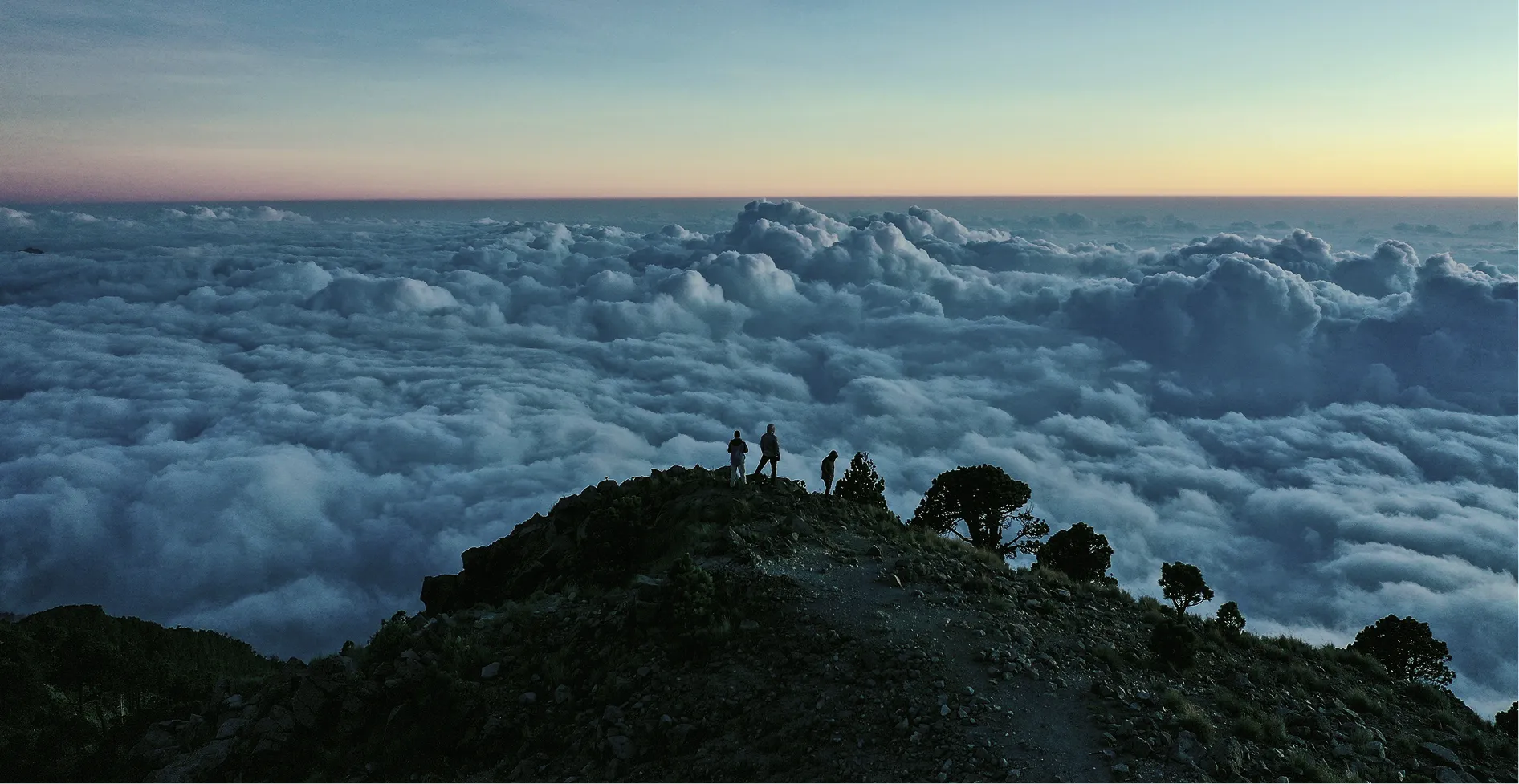
Tajumulco Volcano can be visited all year round, although the dry season, between November and April, usually offers the best conditions for the ascent. During these months, the trails are more stable, the likelihood of rain is lower and the views from the summit are usually much clearer.
On particularly clear days, from Tajumulco Volcano it is possible to see volcanoes in western Guatemala such as Tacaná or Santa María, as well as sweeping panoramic views of the highlands. Depending on visibility, you may even be able to make out areas along the border with Mexico.
During the wet season, between May and October, the landscape becomes more dramatic and lush with vegetation, but rain, mist and mud can make the hike more challenging. For experienced hikers, this time of year also has its appeal, although it requires more preparation.
The cold is one of the most important factors to bear in mind. At the summit, particularly at night or at dawn, temperatures can drop below 0 °C. Wearing thermal, waterproof and good warm clothing is essential to enjoy the experience safely.
Access to the Tajumulco Volcano
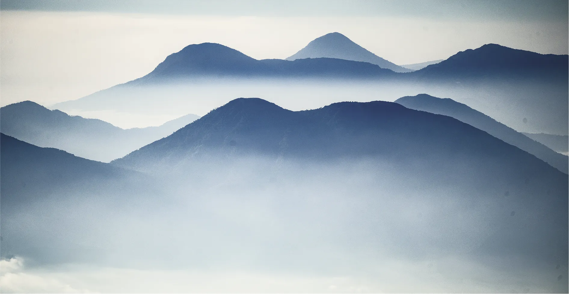
The difficulty of the Tajumulco Volcano is considered moderate to high. Although it does not require technical mountaineering skills, the combination of altitude, elevation gain, distance and cold weather makes the hike a considerable challenge, especially for those who are not used to walking at altitudes above 4,000 metres.
The ascent usually takes between 5 and 8 hours, depending on the starting point, the group’s pace and the weather conditions. Some people complete the climb in a single day, whilst others prefer to split the experience over two days, camping at high altitude and reaching the summit at dawn.
The trails do not feature any complicated technical sections, but they do include steep stretches, uneven terrain and rocky areas that require physical stamina. It is therefore advisable to wear good hiking boots, carry sufficient water and wear clothing suitable for sudden changes in temperature.
Accessibility is very limited due to the nature of the terrain. However, some guides and local communities offer logistical support, equipment transport or escort services to make part of the experience easier.
Things to do near the Tajumulco Volcano
Climb to the highest point in Central America
Reaching the summit of Tajumulco Volcano is, without a doubt, the main aim of the trip. Reaching an altitude of over 4,200 metres offers an immense sense of achievement and allows you to enjoy some of Guatemala’s most sweeping views.
For many travellers, climbing Tajumulco Volcano in Guatemala is much more than just a hike: it is a personal challenge and one of Central America’s most significant mountaineering achievements.
Camping in the high mountains
Many hikers choose to split the ascent over two days and camp near the summit. Sleeping surrounded by silence, crisp air and volcanic landscapes completely transforms the experience and allows you to enjoy particularly spectacular sunrises.
That said, it’s important to be well prepared: night-time temperatures can be extremely low and the wind often picks up considerably in the early hours of the morning.
Photography of extreme landscapes
The Tajumulco Volcano offers one of Guatemala’s most unique mountain landscapes. The combination of low-hanging clouds, volcanic terrain, open skies and the light of dawn makes the setting ideal for nature photography.
Unlike greener volcanoes such as Atitlán or Pacaya, the landscape here is predominantly open, arid and mountainous, with an aesthetic more reminiscent of major mountain ranges.
Combine Tajumulco with Quetzaltenango and San Marcos
Thanks to its location, it is easy to include Tajumulco Volcano as part of a wider tour of the west of the country. Quetzaltenango, San Marcos and Tacaná Volcano are excellent additions to an itinerary combining nature, culture and the mountains.
For those seeking a less touristy and more authentic side of Guatemala, this region offers some of the country’s most interesting experiences.
Places
Map of Guatemala’s must-see volcanoes
Central America’s highest peak
At approximately 4,220 metres above sea level, the Tajumulco Volcano is the highest mountain in Guatemala and the highest point in the whole of Central America.
Mountain Challenge
Most ascents take between one and two days, particularly if they include a high-altitude camp. The cold, the altitude and the duration make the experience much more demanding than climbing other popular volcanoes in the country.
A magnificent natural viewpoint
On clear days, the summit offers some of the most breathtaking panoramic views in Guatemala, with volcanoes, mountains and expanses of the highlands visible for miles around.
‘Alpine’ landscape
Even though you are in Guatemala, the upper reaches of the Tajumulco Volcano offer a cold, rocky environment with sparse vegetation that is more reminiscent of high-mountain landscapes than the tropical climate typically associated with the country.
What to see
Other must-see volcanoes in Guatemala
Use our AI-powered planner to plan your visit to Tajumulco Volcano
Save places, routes and experiences
Natural Wonders
Other natural wonders in Guatemala
Lake Atitlán
Laguna Lachuá National Park
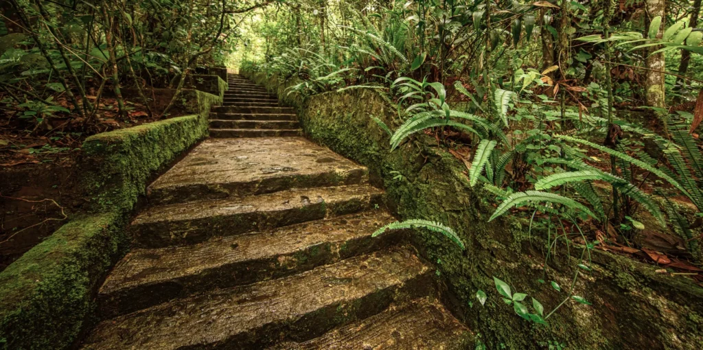
Quetzal Biotope
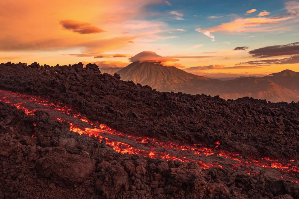
Pacaya Volcano
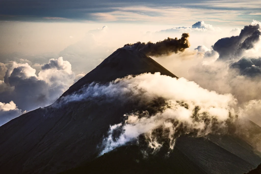
Acatenango Volcano
Blog posts
Interesting articles about Tajumulco and other places
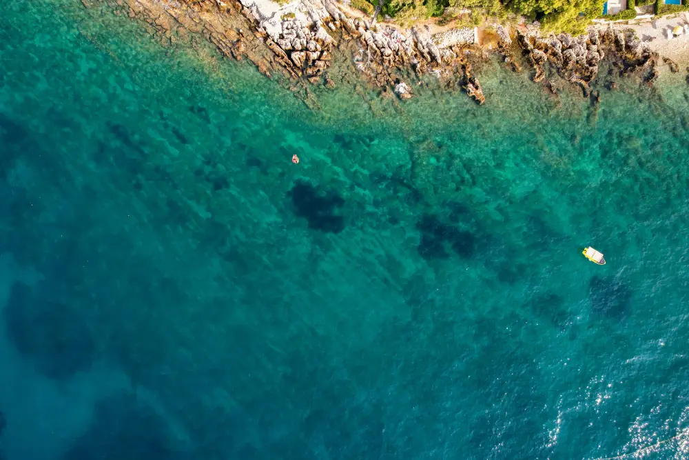
The Blue Crater: A guide to visiting this paradise in Petén
Deep in the heart of Petén, where the jungle is dense and the sounds of the city fade away completely, […]
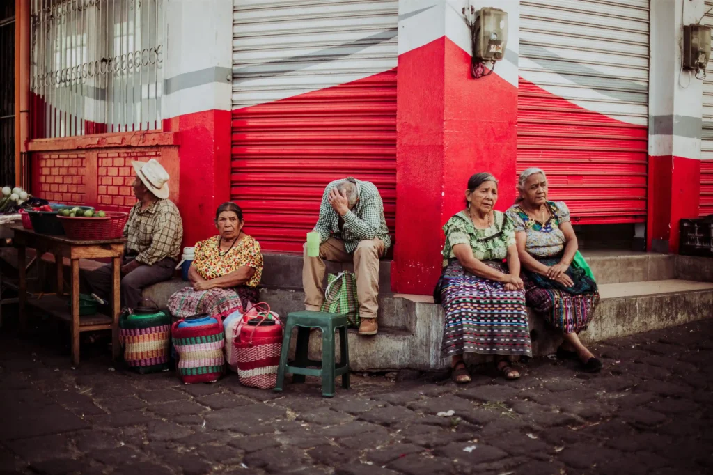
Traditional dress of Quetzaltenango: Discover the history and significance of the Xela dress
Few things connect you as viscerally with the culture of Quetzaltenango as its rich variety of textiles. Strolling through the […]
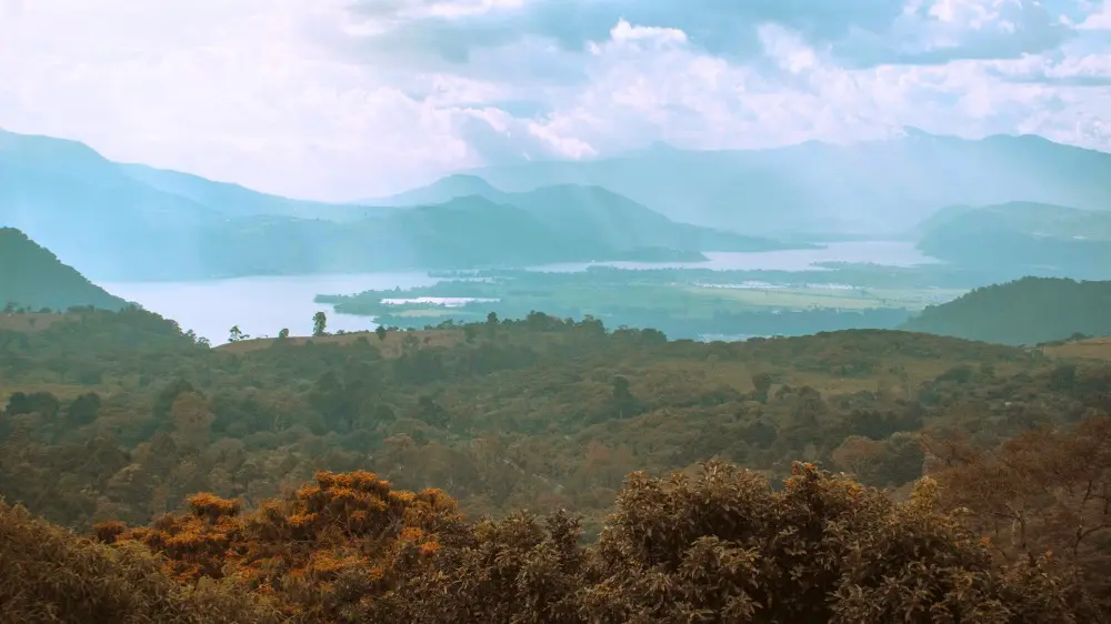
Lake Amatitlán: History, things to do and how to visit it
Lake Amatitlán is a traditional attraction in Guatemala: a must-visit destination for a wonderful experience amongst the volcanoes.
Frequently Asked Questions
What makes the Tajumulco Volcano special?
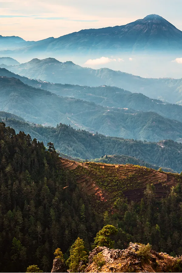
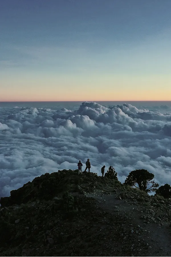
Tajumulco Volcano is not only the highest volcano in Guatemala, but also the highest peak in the whole of Central America. What really makes it special is the sense of vastness you experience during the climb: high-mountain landscapes, completely clear skies at dawn and views which, on clear days, even allow you to see volcanoes in Mexico. Unlike other, more touristy volcanoes near Antigua, the atmosphere here is much more peaceful, remote and authentic.
Is it worth climbing Tajumulco Volcano?
Yes, especially if you enjoy trekking and are looking for a less crowded mountain experience. Tajumulco Volcano isn’t actively erupting like the Fuego Volcano, but it more than makes up for it with spectacular scenery, a sense of adventure and one of the most breathtaking sunrises in the country. What’s more, as it’s less touristy, the experience often feels much more authentic and connected to nature. For many travellers, it’s one of Guatemala’s most underrated routes.
How long does the trip to the Tajumulco Volcano take?
The hike to Tajumulco Volcano usually takes 1 or 2 days, depending on the route chosen and the group’s fitness level. Most travellers choose to spend a night camping so they can reach the summit at dawn, when the views are at their most spectacular. Although technically it is not the most difficult trek in the country, the altitude and the cold can make the route quite challenging in places.
What should you take with you when climbing Tajumulco volcano?
The key to enjoying the climb up Tajumulco Volcano is to be prepared for the cold and the altitude. It is recommended that you wear thermal or warm clothing in layers, a windbreaker, a hat and gloves, especially if you are spending the night on the mountain. Good hiking boots or trainers, plenty of water, sun cream and a head torch for pre-dawn set offs are also essential. Many people underestimate the temperatures at the summit, but they can get really low at night, even out of season.